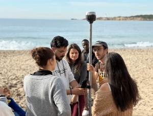
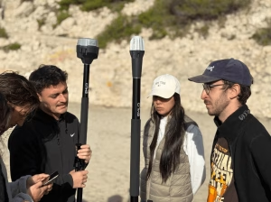
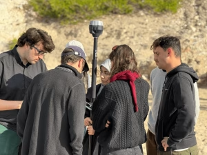
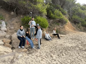
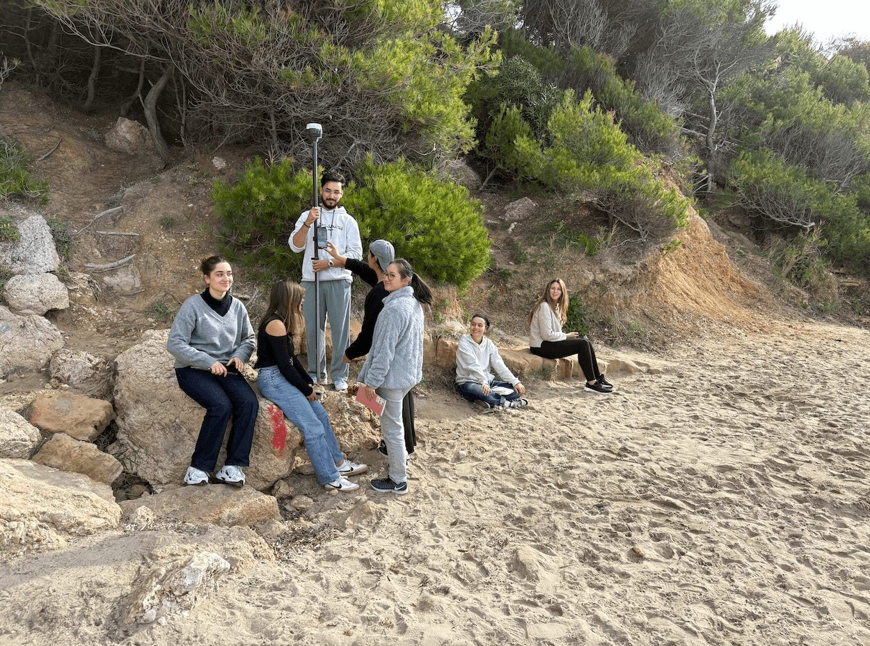
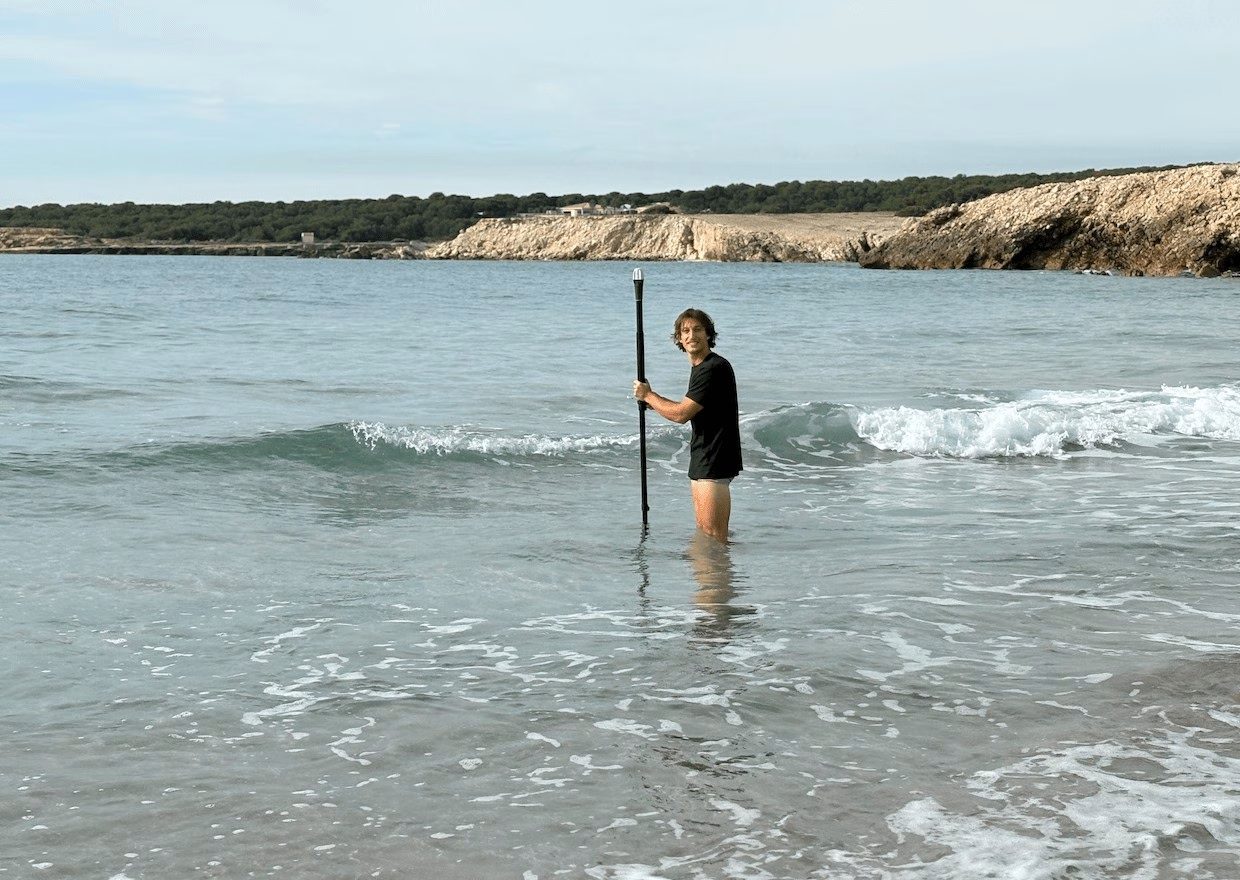
A recent field day at St-Croix beach provided students with hands-on training in coastal topographic survey techniques. The activity focused on learning how to measure and analyze beach morphology using a combination of classical and modern surveying methods.
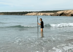
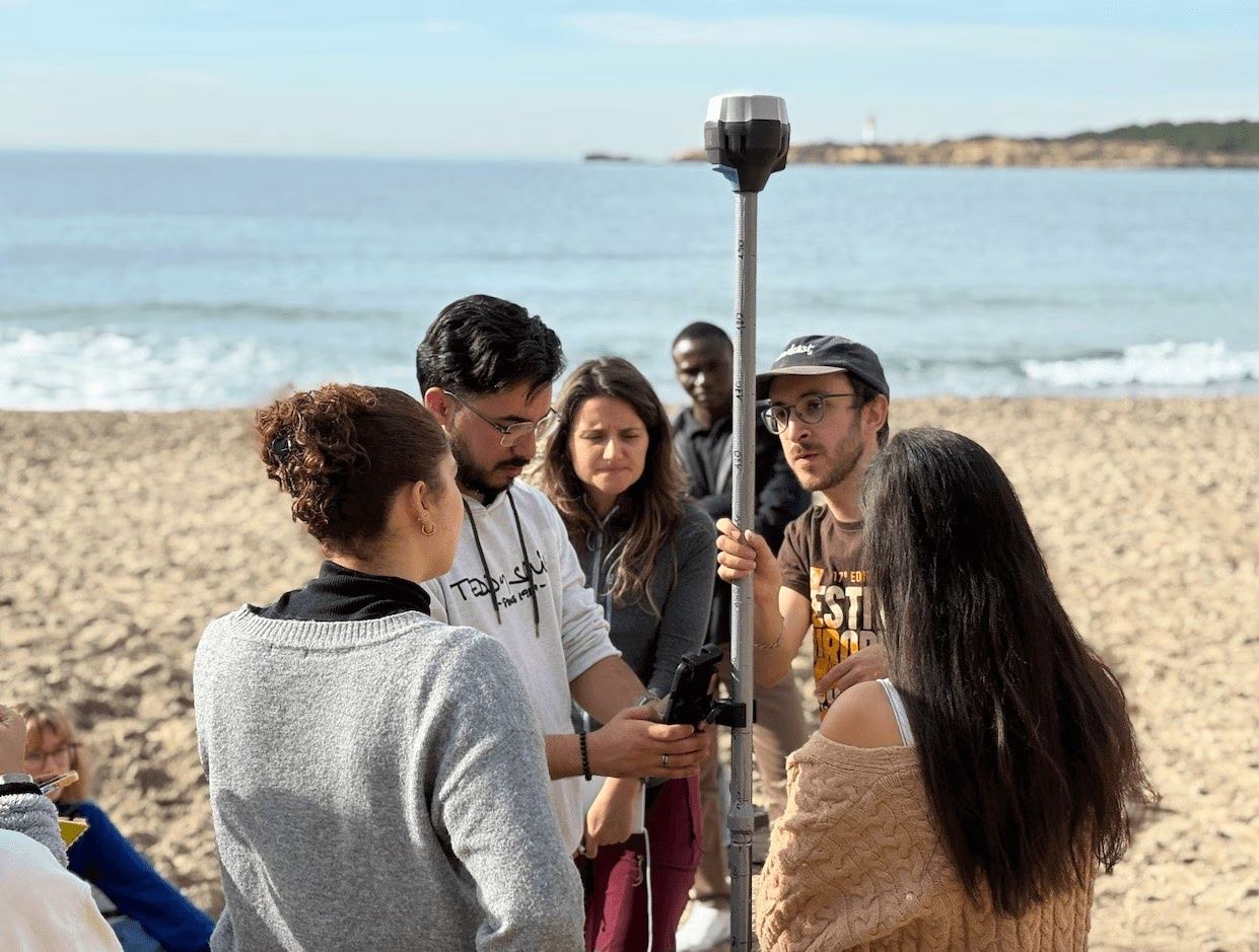
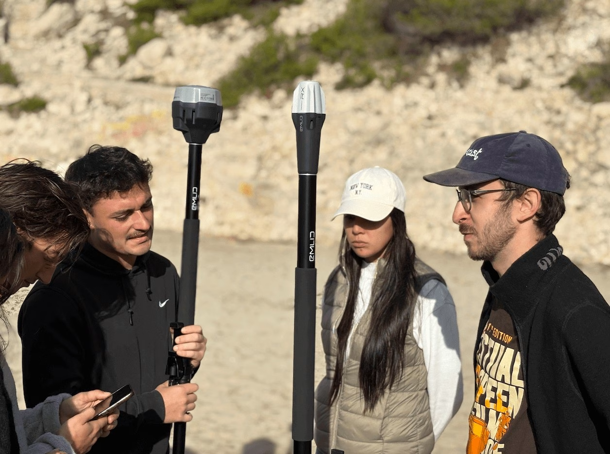
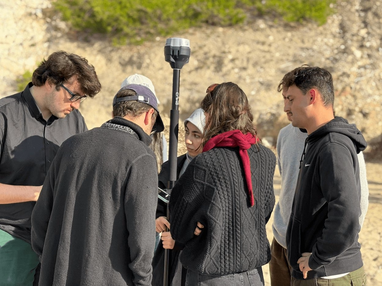
Students conducted beach profile measurements using the Emery method, complemented by bubble level instruments, total station surveys, and DGPS measurements operating in RTK GNSS mode. These techniques allow researchers to obtain accurate topographic data that are essential for monitoring shoreline evolution and sediment dynamics.
The collected datasets contribute to ongoing research on pocket beaches, which are small coastal systems typically confined between rocky headlands. Long-term observations at St-Croix indicate that while the shoreline position remains relatively stable, there is a gradual lowering of beach elevation over time. Such changes may reflect sediment redistribution and the influence of storm events.
Field training plays a crucial role in helping students understand these processes. By observing and measuring coastal features directly in situ, participants can connect theoretical concepts with real geomorphological dynamics.
Activities such as these form an essential component of the TRACE project’s educational objectives, supporting the training of future geoscientists and promoting a deeper understanding of coastal environments under changing climatic conditions.
A photo gallery from the field training is available below.