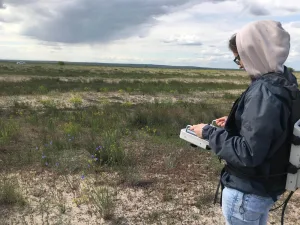
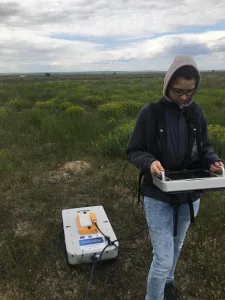
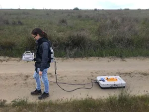
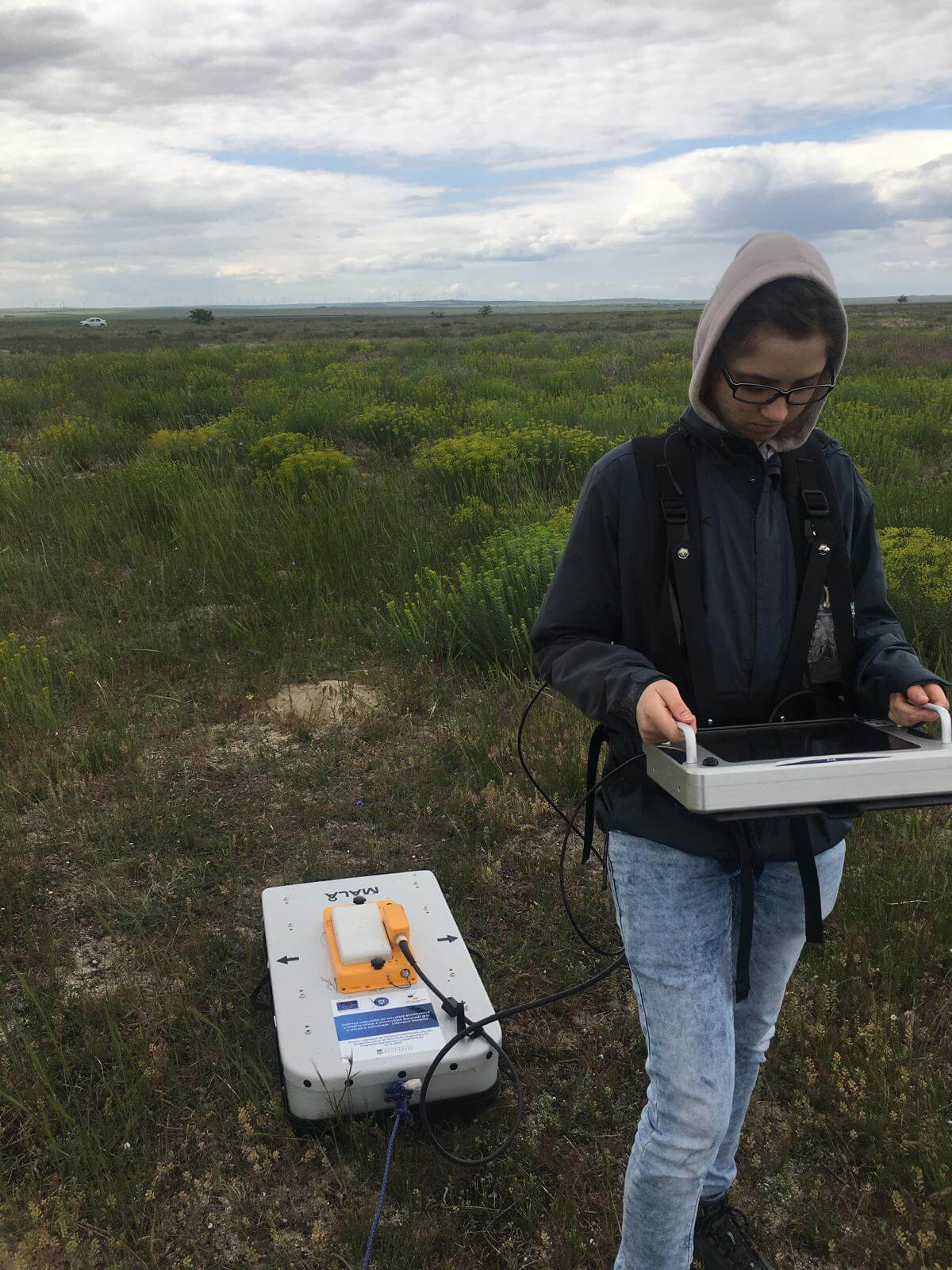
In an effort to uncover the hidden history of the Dobrogea region near the Black Sea, a recent field campaign focused on the internal structure of the Saele and Chituc beach ridge plains. Utilizing ground penetrating radar (GPR), this investigation sought to reveal the secrets embedded within these ancient coastal formations.
Beach ridges and their sediments serve as valuable paleaoindicators of past shoreline positions, shapes, and sea levels. Much like tree rings or stratigraphic successions, they provide a chronological record of environmental changes, albeit with a more limited temporal resolution, typically on a decadal scale.
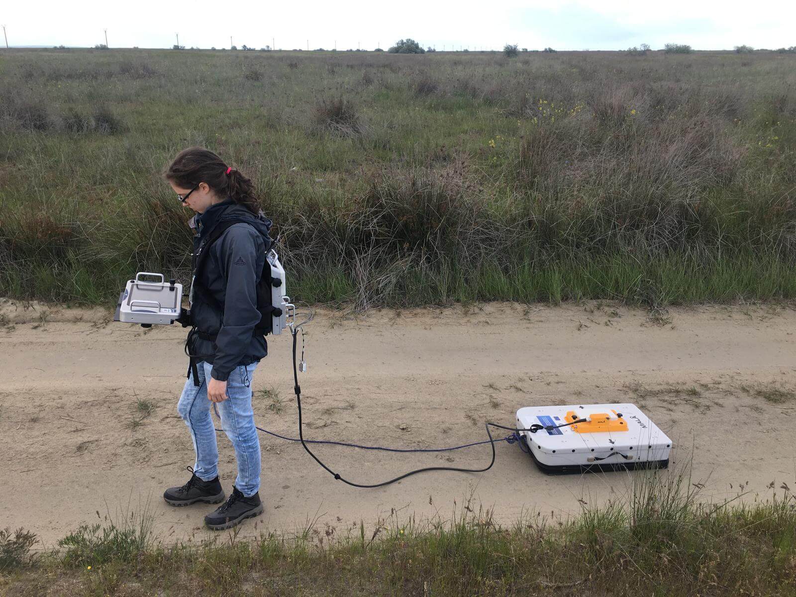
GPR, a cutting-edge geophysical method, employs electromagnetic waves to noninvasively image underground structures. These waves are reflected, refracted, or scattered back to the surface based on the dielectric properties of the subsurface materials. This technology allows researchers to visualize the underground without disturbing it, offering a clear picture of the historical shoreline dynamics.
The insights gained from this GPR survey are crucial for reconstructing the paleoenvironment of the Saele and Chituc beach ridge plains. By understanding past sea levels and shoreline changes, scientists can better predict future coastal dynamics and contribute to more informed coastal management strategies.