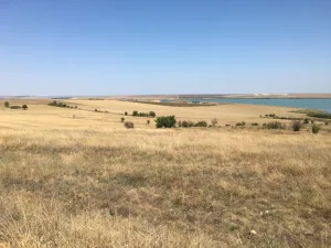
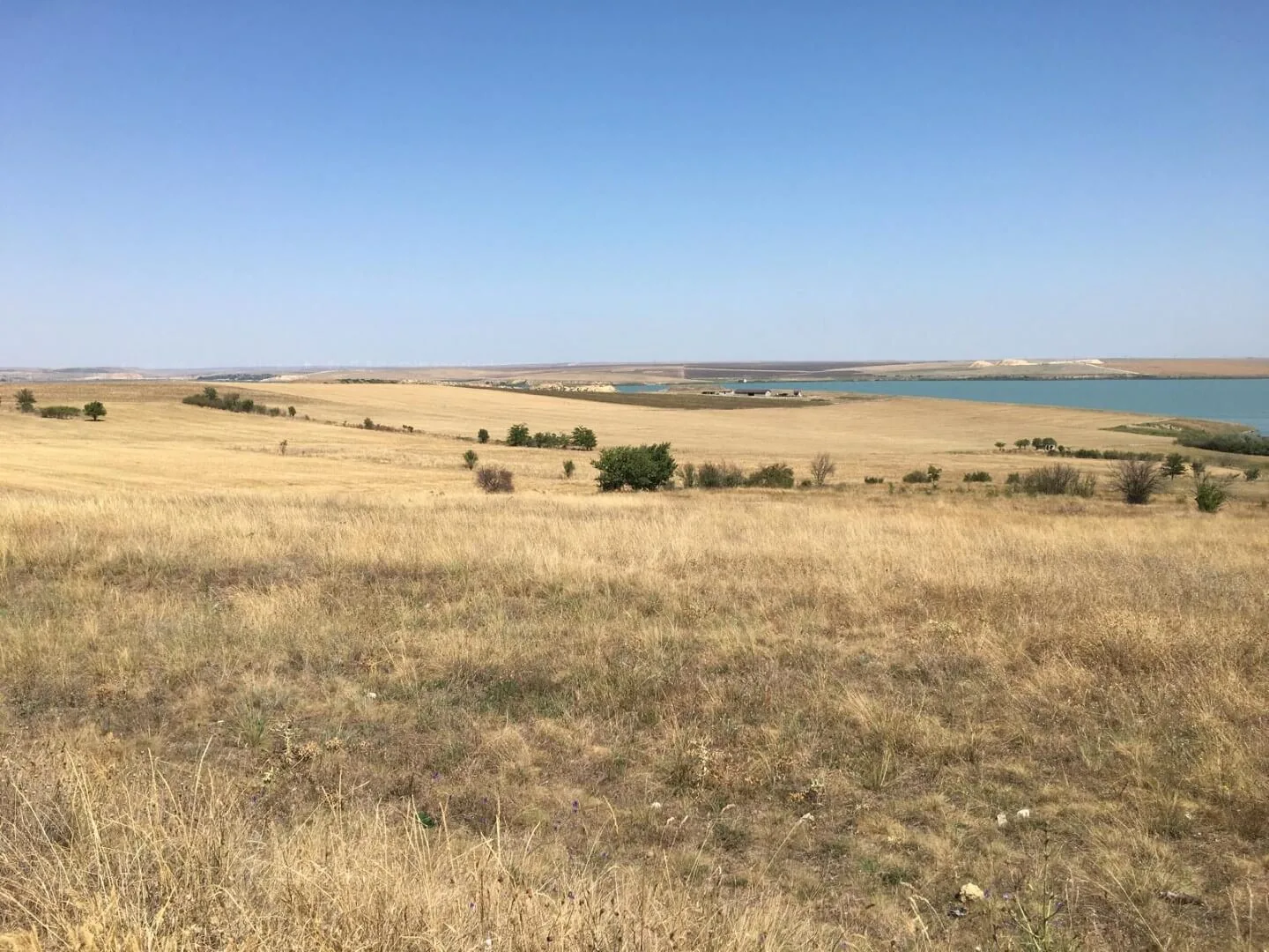
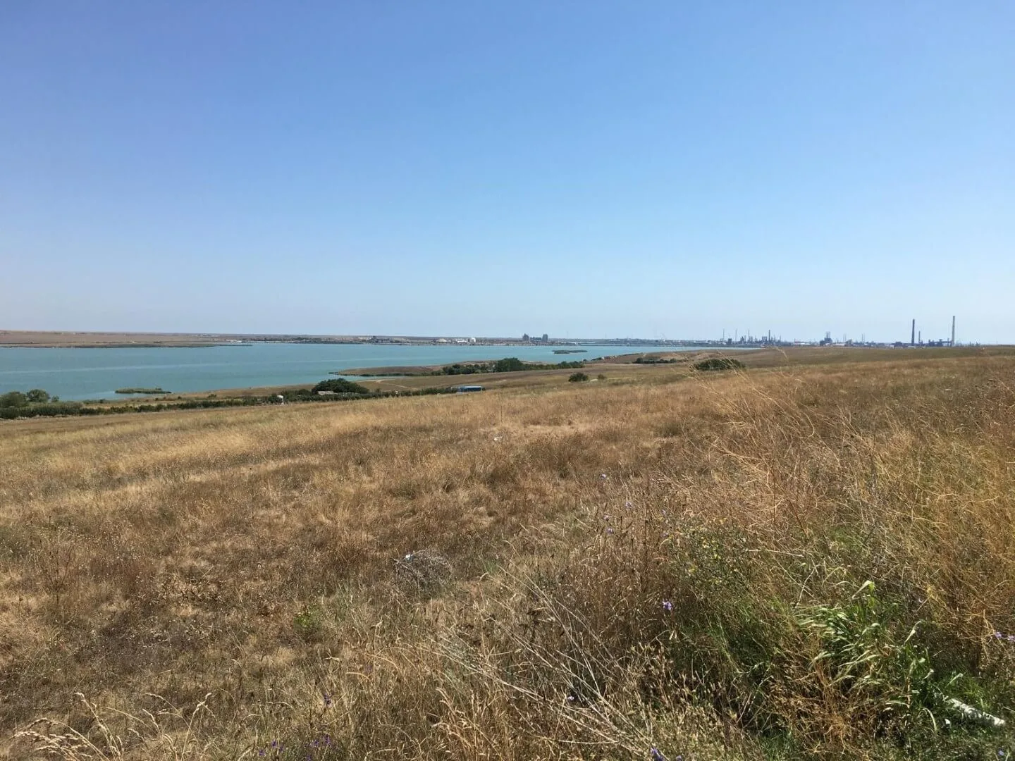
As part of the ongoing TRACE project activities, a field campaign was conducted to investigate the landscapes surrounding Lake Tașaul, located on the Casimcea Plateau in Romania. The primary objective was to verify the presence of presumed marine terraces, as suggested by earlier studies.
These geomorphological features are valuable paleoindicators of past sea-level changes and climate variability, particularly in tectonically stable regions like the Casimcea Plateau. Marine terraces record ancient shoreline positions, offering critical insight into how sea levels have fluctuated over geological timescales in response to climate change.
The research team combined aerial surveys using drones with ground-based GPS mapping, focusing on locations previously identified in the scientific literature. This integrated approach allowed for detailed spatial analysis of the terrain and precise identification of potential terrace formations.
The findings from this survey will contribute to refining our understanding of the paleogeographic evolution of the western Black Sea coastal region and help reconstruct how past climate shifts shaped the present-day landscape. This knowledge is vital for contextualizing modern sea-level trends and their future trajectories.